
Remote Sensing for Sustainable Development
● Course Description:
This course explores the use of remote sensing for sustainable development. The course will cover the fundamentals of remote sensing, as well as its applications in a variety of sustainable development domains, such as:
● Natural resource management: Remote sensing can be used to monitor the state of natural resources, such as forests, water bodies, and agricultural land. This information can be used to make informed decisions about resource management and conservation.
● Environmental monitoring: Remote sensing can be used to monitor environmental changes, such as deforestation, desertification, and climate change. This information can be used to track the progress of these changes and to develop strategies for mitigation and adaptation.
● Disaster management: Remote sensing can be used to monitor natural disasters, such as floods, earthquakes, and droughts. This information can be used to assess the impact of these disasters and to provide assistance to those affected.
● Urban planning: Remote sensing can be used to monitor urban growth and development. This information can be used to plan for the future growth of cities and to ensure that they are sustainable.
● Course Objectives:
Upon completion of this course, students will be able to:
○ Understand the fundamentals of remote sensing
○ Apply remote sensing to sustainable development problems
○ Evaluate the use of remote sensing for sustainable development
○ Communicate the results of remote sensing analysis to a variety of audiences
● Prerequisites:
○ Introduction to Remote Sensing
○ Introduction to Statistics
● Textbooks:
○ Weng, Qihao. Remote Sensing for Sustainability. Routledge, 2018.
○ Foody, G. Michael. Remote Sensing for Sustainable Development. Wiley, 2012.
● Course Outline:
○ Module 1: Introduction to remote sensing and sustainable development
○ Module 2: Natural resource management
○ Module 3: Environmental monitoring
○ Module 4: Disaster management
○ Module 5: Urban planning
○ Module 6: Case studies
○ Module 7: Project proposaln
○ Module 8: Project presentation
● Course Delivery Method:
○ Lectures: Interactive lectures delivered by experienced remote sensing professionals and experts through presentations, videos, and demonstrations.
○ Homework Assignments: There will be three homework assignments throughout the course. The homework assignments will be graded on correctness and completeness.
○ Project: The project will involve applying machine learning to a remote sensing problem. Students will work in groups of two or three to complete the project. The project will be graded on creativity, originality, and technical quality.
○ Q&A Sessions: Regular question and answer sessions to clarify doubts and address participants' queries related to the course content and practical exercises.
● Course Duration:
4 weeks (can be adjusted as per requirements)
● Note:
The course content and duration can be customized according to the specific requirements and level of expertise of the target audience.
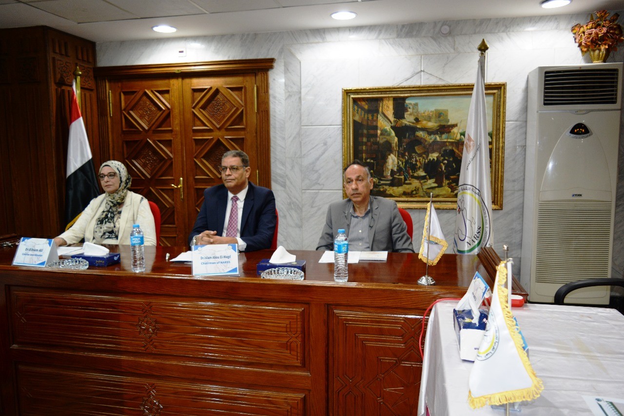
Latest Events
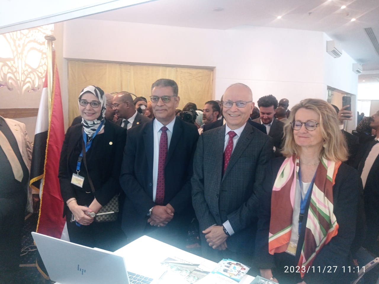
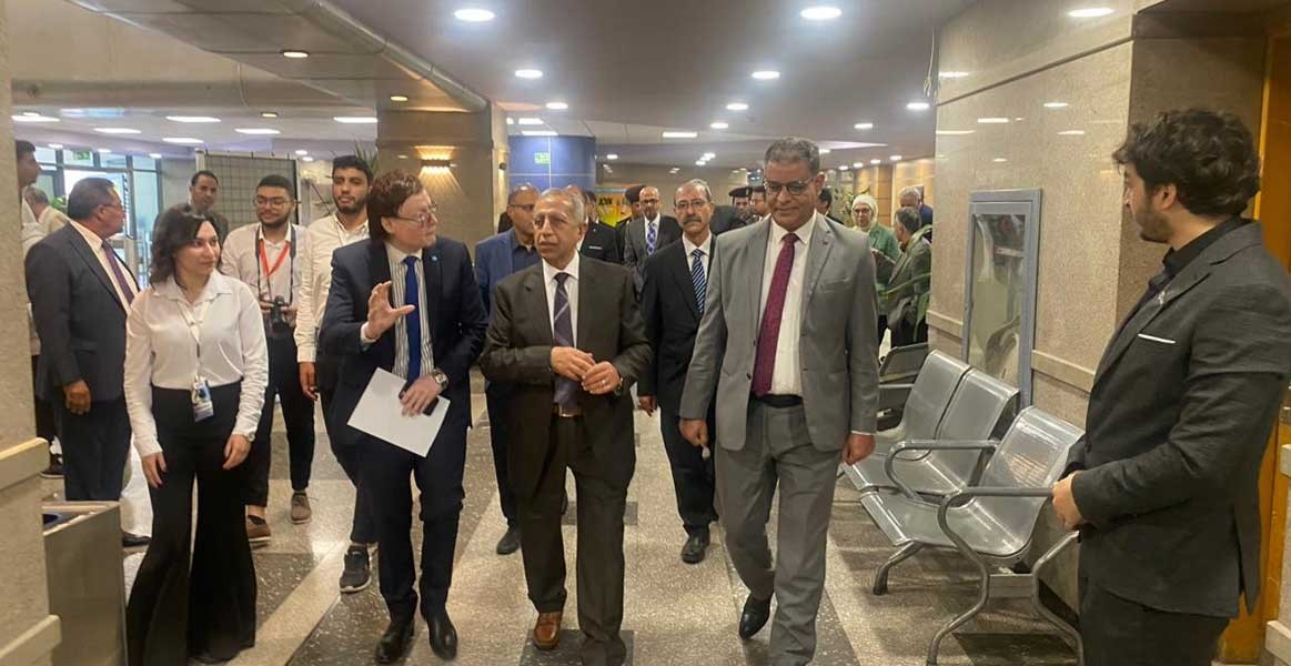

Latest News


NARSS
National Authority for Remote Sensing & Space Sciences
NARSS is the pioneering Egyptian institution in the field of satellite remote sensing. NARSS is an outgrowth of a Remote Sensing Center, established in 1971 as an American-Egyptian joint project that was affiliated to the Egyptian Academy of Scientific Research and Technology


