Vision
This division is expert in research and studies concerning on the applications of remote sensing sciences, geographic information systems and modelling in soils, vegetation cover, water, marine, coastal areas and a specialized consultative centre working serving national development.
Mission
Using remote sensing and geographic information systems in building knowledge bases for national developing projects.
Increasing national income from agricultural sector, contributing to optimal management of agricultural lands and marine applications.
Publishing in high impact scientific journals.
It supports the country's development sectors and increase the level of global competition in line with the state's 2030 Agricultural Development Plan.
Outlines
Basically, research and consultation work of the division are carried out through:
National projects carried out by the members of the Research Commission and their assistants and funded by NARSS and locatable funding Agency.
International Projects implemented by the Division in cooperation with external parties and with foreign financing.
Projects implemented for the production and services sectors, funded by local beneficiaries.
Goals
Effective contribution to the implementation of the strategic plan in the field of sustainable agricultural development, coastal areas, lakes development and strengthening national economy through using remote sensing sciences, geographic information systems, and modelling, through the following trends:
Periodic monitoring of agricultural lands, cultivated areas with strategic crops and determining the periodic needs of irrigation water, which would contribute to reducing the food gap and achieving sustainable agricultural development.
Building of agricultural digital databases, which is a pillars for optimal agricultural plans and policies.
Assessment and inventory for the natural resources in order to set optimal agricultural development priorities and trends at the national level.
Expansion in the planting of medicinal, aromatic and energy-producing plant crops.
Development a remote sensing, GIS, internet of things (IoT) based monitoring and early warning systems for agricultural risks such as prediction of diseases, pests, plant epidemics, forecasting flood disasters, torrents, and drought.
Development wireless sensors and devices in field of irrigation water to maximize the utilization of available water resources, and reduce irrigation water losses.
Continuous updating of agricultural land use maps.
Implementation smart agriculture in Egypt based on remote sensing, GIS, IoT and ICT in new reclaimed land.
Production of water flow maps at the top of the Nile to reduce water losses from the Nile Basin.
Scientific consultations and technical services in the various fields of agriculture to governmental and private sectors.
Using the latest applications of remote sensing and geographic information systems in the fields of marine science and studies to support the needs of society in the various relevant bodies, centres, institutes, and entities.
Observation of various marine phenomena and their regional and local impacts.
Establishing community awareness of the areas of using modern technology for remote sensing in marine sciences through seminars, workshops, conferences and environmental conservation campaigns.
Qualifying the scientific cadres in the applications of remote sensing and geographic information systems in the field of marine sciences and coastal zone management.
Communication with universities and institutes to transfer experiences and information to reach optimal solutions in the problems related with agricultural development.
Production soil mapping, capability, and crop suitability to support decision-makers for sustainable development.
Monitoring different marine environments (coral reefs - mangrove trees environment - marine weeds) and the harmful effects they face, creating databases for the Red Sea and Mediterranean environments and assessing their importance and how they follow up to track their differences and develop plans for sustainable development.
Agricultural Applications Department
Vision
Our vision is to become a center of excellence in Remote Sensing (RS) and Geographic Information System (GIS) Agricultural Applications in Egypt, the region, and across the Globe and develop partnership with industry and society.
Provide leadership in remote sensing and GIS agricultural applications through research and development, teaching and training, instructions and consultations and mutual research projects.
The department aims to localize the technology of artificial intelligence, the Internet of Things, and machine learning in agricultural management, monitoring and inventorying crop composition, estimating crop productivity, predicting insect pest infestations, estimating crop water consumption, and managing the agricultural system to achieve and maximize economic returns.

Soil Department
Vision
This division is an expert in research and studies concerning the applications of remote sensing sciences, geographic information systems, and modelling in soils, vegetation cover, and a specialized consultative center working serving national development.
Mission
Provide leadership in remote sensing and GIS agricultural applications through research and development, teaching and training, instructions and consultations, and mutual research projects. It supports the country's development sectors and increases the level of global competition in line with the state's 2030 Agricultural Development Plan.
Objectives
Periodic monitoring of agricultural lands, cultivated areas with strategic crops, and determining the periodic needs of irrigation water, would contribute to reducing the food gap and achieving sustainable agricultural development.
Building agricultural digital databases, which is a pillar for optimal agricultural plans and policies.
Assessment and inventory of the natural resources to set optimal agricultural development priorities and trends at the national level.
Expansion in the planting of medicinal, aromatic, and energy-producing plant crops.
Development of remote sensing, GIS, internet of things (IoT) based monitoring and early warning systems for agricultural risks such as prediction of diseases, pests, plant epidemics, forecasting flood disasters, torrents, and drought.
Development of wireless sensors and devices in the field of irrigation water to maximize the utilization of available water resources, and reduce irrigation water losses.
Continuous updating of agricultural land use maps.
Implementation of smart agriculture in Egypt based on remote sensing, GIS, IoT, and ICT in new reclaimed land.
Production of water flow maps at the top of the Nile to reduce water losses from the Nile Basin.
Scientific consultations and technical services in the various fields of agriculture to governmental and private sectors.
Using the latest applications of remote sensing and geographic information systems in the fields of marine science and studies to support the needs of society in the various relevant bodies, centers, institutes, and entities.
Observation of various marine phenomena and their regional and local impacts.
Establishing community awareness of the areas of using modern technology for remote sensing in marine sciences through seminars, workshops, conferences and environmental conservation campaigns.
Qualifying the scientific cadres in the applications of remote sensing and geographic information systems in the field of marine sciences and coastal zone management.
Communication with universities and institutes to transfer experiences and information to reach optimal solutions in the problems related with agricultural development.
Production soil mapping, capability, and crop suitability to support decision-makers for sustainable development.
Monitoring different marine environments (coral reefs - mangrove trees environment - marine weeds) and the harmful effects they face, creating databases for the Red Sea and Mediterranean environments and assessing their importance and how they follow up to track their differences and develop plans for sustainable development.
Research Team
Marine department
Research Team
Related Projects
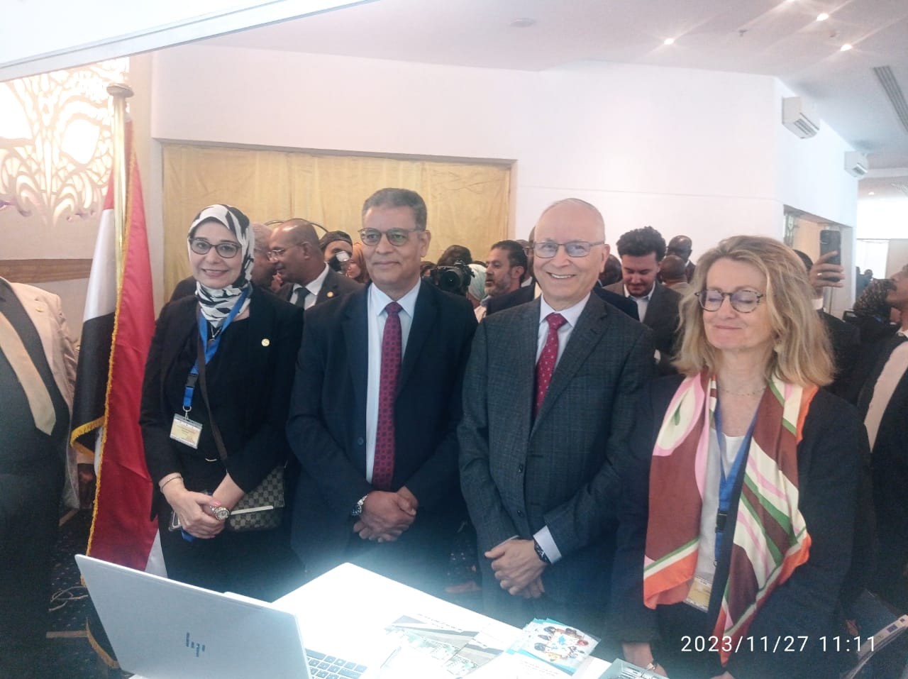
Latest Events
Latest News
NARSS
National Authority for Remote Sensing & Space Sciences
NARSS is the pioneering Egyptian institution in the field of satellite remote sensing. NARSS is an outgrowth of a Remote Sensing Center, established in 1971 as an American-Egyptian joint project that was affiliated to the Egyptian Academy of Scientific Research and Technology


