
Strategic environmental assessment of urban development in Alexandria Governorate using remote sensing techniques, geographic information systems, and decision support models.
Summary of project:
The research project aims to use and employ the potential of geospatial technologies to integrate the dimensions of sustainable development into the quantitative assessment and monitoring of resources and environmental constraints in Alexandria Governorate. It aims to develop criteria for evaluating environmental sustainability in the governorate in terms of (the economic, social, tranquility, and natural environment) in line with the goals of Egypt’s Vision 2030. The study is based on two main axes: The first axis: Evaluating the current environmental situation of the governorate in terms of natural and human resources, including the natural environment. Climate, land cover, and coasts) and the population environment (in terms of demographic, economic, social, and housing conditions) as well as the technological environment and infrastructure (facilities and services). This axis aims to choose indicators for measurement and evaluation of each environmental situation mentioned. The second axis: the strategic environmental assessment, using indicators derived from The study and previous studies identify areas of fragility and environmental poverty in the urban environment, and these indicators are considered an early warning, along with identifying areas that can be taken into consideration in sustainable development plans and to help direct investments and adaptation plans. In this axis, indicators of some natural resources such as energy are also measured. Solar and wind energy and the most suitable areas for harvesting them, studying some indicators of logistical, transportation and traffic capabilities, evaluating the potential of the capabilities and modeling the most suitable sites for industrial development.
The objective of the project:
The project is a scientific and technological tool to support decision makers in the field of land use planning, especially urbanism and the environment. The study shed light on the natural, social, economic and urban environment in Alexandria Governorate. The results of the study can be benefited from in terms of: - Using maps of temporal and spatial change in land and coastline in future forecasting models. - Benefiting from maps of social, economic, and environmental indicators in developing social protection plans, an environmental improvement plan for cities and centers, and scheduling priorities. - Using maps of geographical and spatial capabilities for renewable energy and determining the most appropriate locations for stations.
The most important outputs:
Producing maps of land use and coastline change
Producing maps of poverty and need indicators
Producing potential maps for solar and wind energy in the governorate.
Classification of road types, some axes and connectivity.
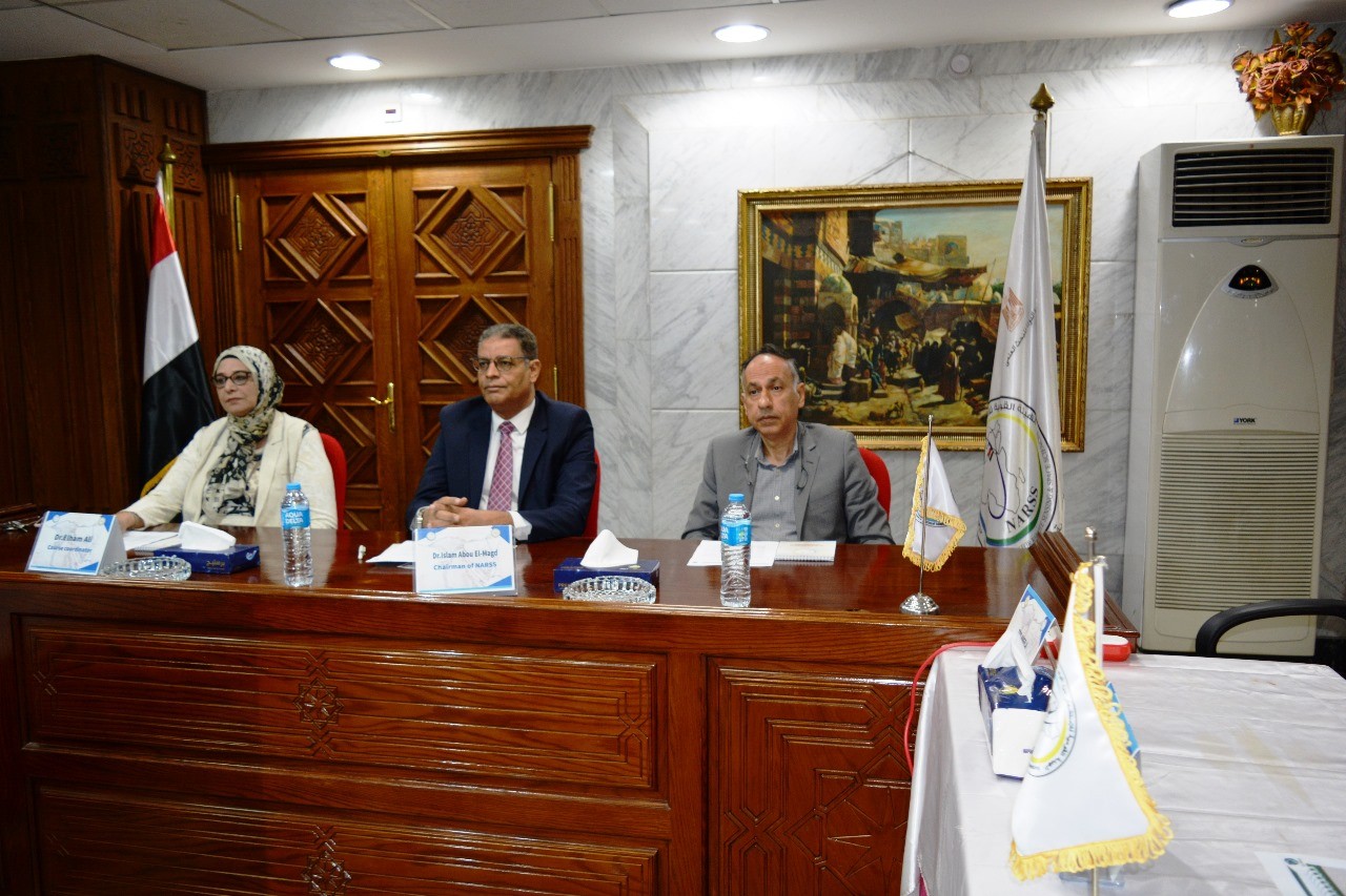
Latest Events
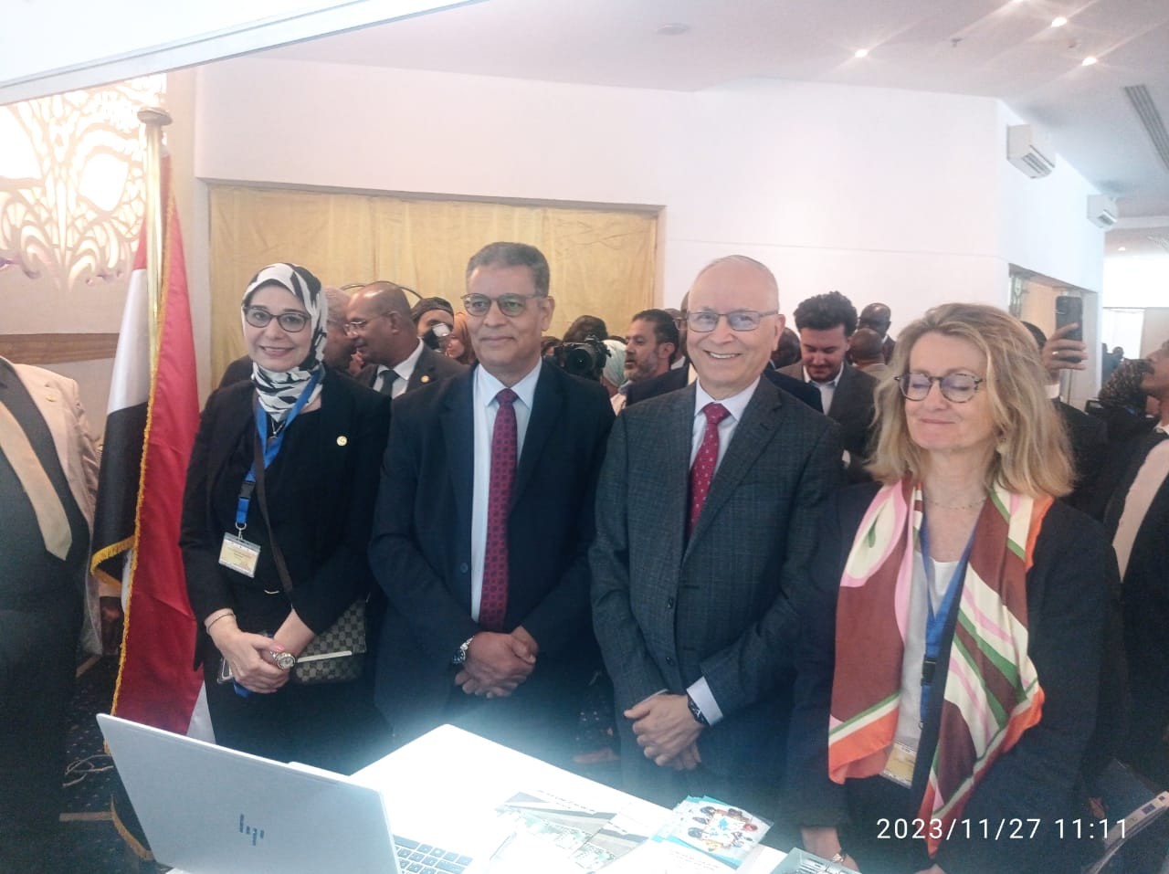
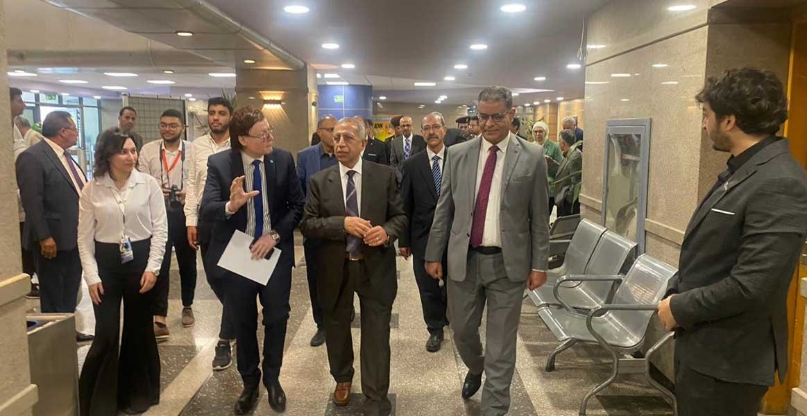
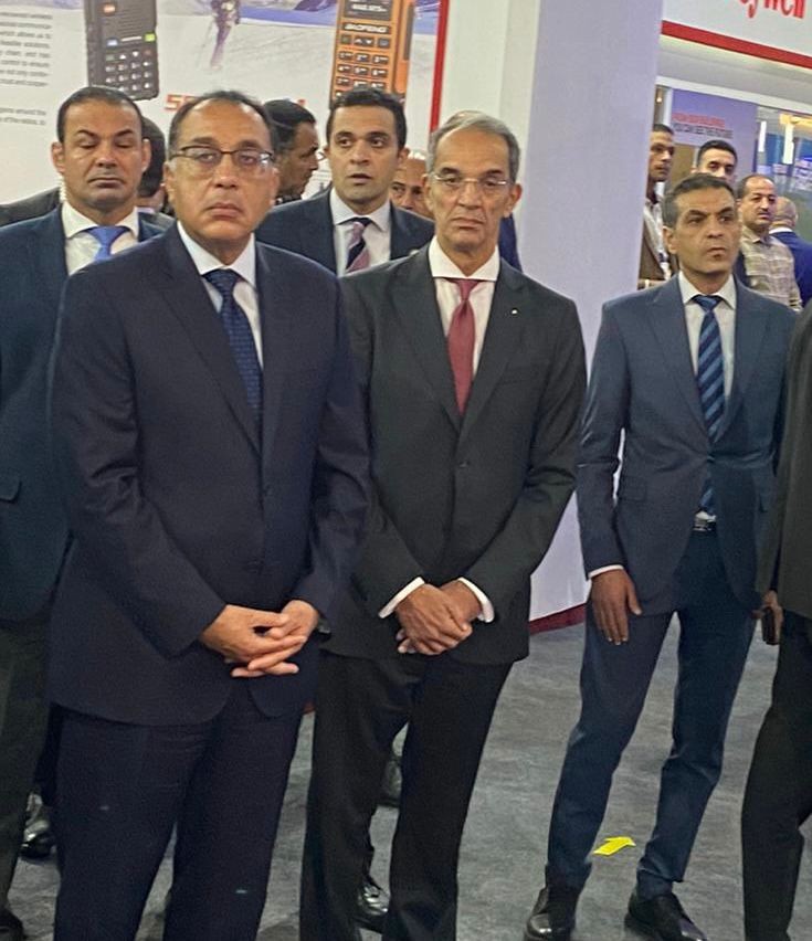
Latest News
NARSS
National Authority for Remote Sensing & Space Sciences
NARSS is the pioneering Egyptian institution in the field of satellite remote sensing. NARSS is an outgrowth of a Remote Sensing Center, established in 1971 as an American-Egyptian joint project that was affiliated to the Egyptian Academy of Scientific Research and Technology


