
Road Extraction Based on Hyper Approach
Researcher:
D.Rania Elsayed Ibrahim
Summary of project:
Roads network is necessary for urban planning. Also an accurate and up-to-date road network database is essential for GIS (Geographic Information System) based applications such as urban and rural planning, transportation management, vehicle navigation, emergency response, etc.
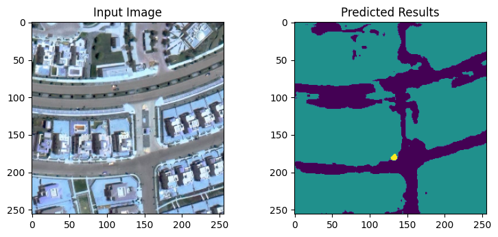
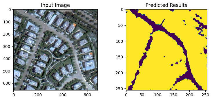
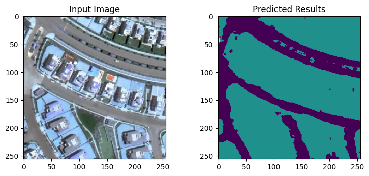
We developed a hyper model using CNN and SVM using high resolution images (0.5m). It developed based on 2 convolution layers from pretrained model vgg16 to predict feature maps of the image and reshape feature maps (X) and mask (Y) to rows and columns to input it on machine learning Model X, so this forms 2D array Y will be 1D array and use SVM to learn and classify feature maps with its mask. The model accuracy was evaluated and it was 13% . The learning model treated with the input image as tabular data, learn rows with columns and eliminates an idea of spatial data on Image, it faces difficulty in overlapping objects, and not sensitive to noise. Consequently, we don’t recommend the use of SVM in classifying roads.
The objective of the project:
This research aims at assessing road extraction using various machine learning algorithms.
A collection of images that express the outputs
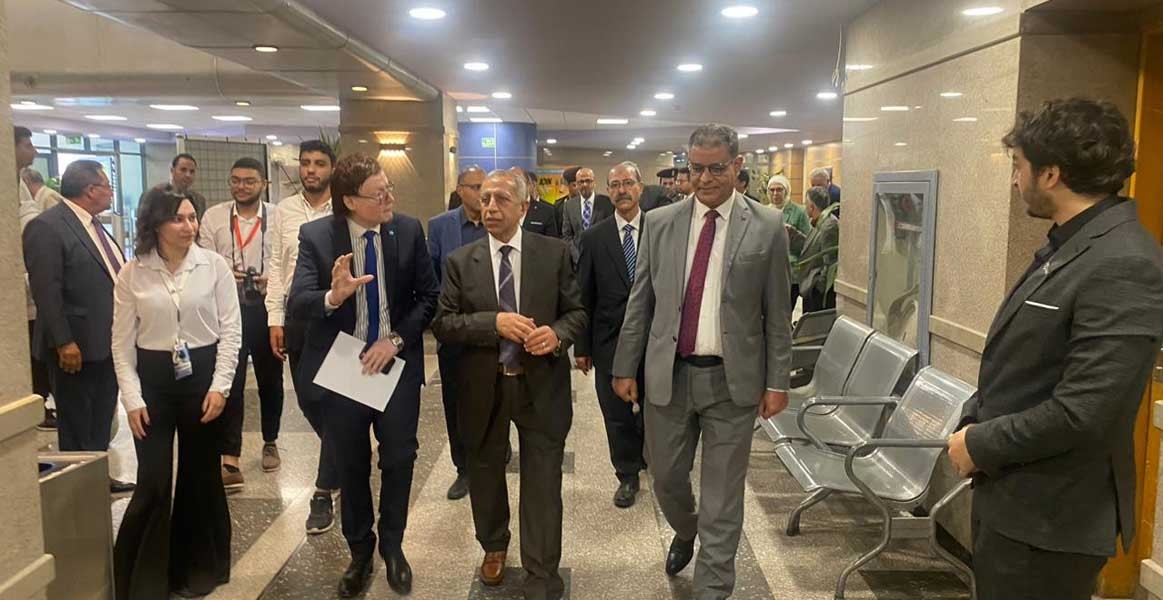
Latest Events
Latest News

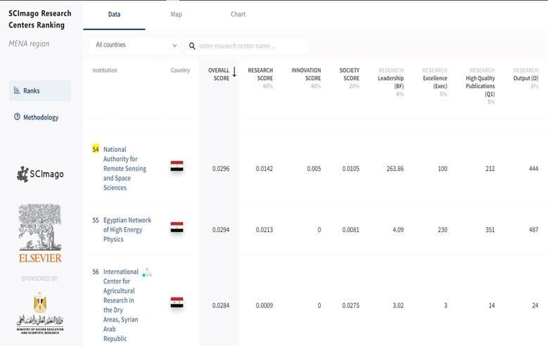
NARSS
National Authority for Remote Sensing & Space Sciences
NARSS is the pioneering Egyptian institution in the field of satellite remote sensing. NARSS is an outgrowth of a Remote Sensing Center, established in 1971 as an American-Egyptian joint project that was affiliated to the Egyptian Academy of Scientific Research and Technology


