Exploration studies for iron ore in the Golden Triangle region, central Eastern Desert, Egypt, using remote sensing techniques and geographic information systems.
Researcher:
Prof. Dr. Salem Mohammed Salem
Summary of project:
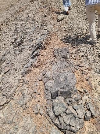
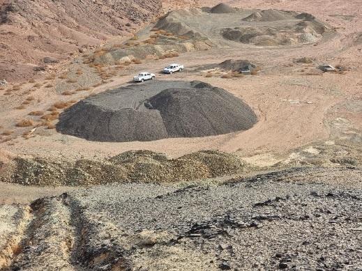
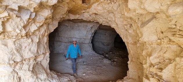
Iron is one of the most important mineral resources for which Egypt is famous, as its deposits are located in three main regions: east of Aswan, the Bahariya Oasis, and the Eastern Desert. The economic benefit of iron ores is represented in the main goal of producing various types of solid iron, especially since iron is one of the basic metals needed in every field, whether at the civil or military level, in addition to its other uses in paints and ferrocement. In the area proposed for study, iron deposits are located in the central sector of the eastern desert, south of Qusayr, near the coast of the Red Sea. They are deposits of sedimentary origin, then they became metamorphosed due to high heat and intense pressure. Among the most important sites are Jabal al-Hadid, Wadi Karim, Dabah, Umm Nar, Umm Ghamis al-Zarqa, and Jabal Umm Shaddad. . The ore is found in the form of lenses or strips of magnetite, hematite, and silica, which are present in the form of the mineral jasper, with thicknesses ranging from several centimeters to approximately five metres. The presence of iron ore in the mentioned locations in the study area may clarify and indicate that the region contains a suitable geological environment for the formation of this ore and it is found in other places in that geological environment spread throughout the region, and this is the justification and motivation behind this study. The Authority also has a device to measure the spectral fingerprints of rocks and mineral ores (ASD Spectro-radiometer). Through these spectral measurements and with the help of satellite images, we can identify rocks and minerals and explore other places and extensions of iron ore in the aforementioned area.
With the natural development of technology, especially space technology and satellites, which provide us with a comprehensive, integrated and detailed view of the Earth and its riches. This prompts the use of this technology and unconventional means available to search for mineral resources, and explore new areas for mineral exploitation through satellite images. Through digital processing of satellite images as well as spectroscopic measurements of rocks and minerals, we can determine the rocks that contain iron ores, their locations, and their presence.
The objective of the project:
1- Integration of remote sensing data, geographic information systems, and ground and air geophysics to identify potential locations of iron ore.
2- Measuring the effectiveness and reliability of geophysical methods in determining the vertical subsurface extension of ore.
The most important outputs:
A satellite image showing the locations and presence of iron ore (including existing, previously known sites and new areas discovered in the study area).
Updated data on rocks and minerals helps in updating the digital GIS database in the study area.
Updating the digital geographic information systems database.
A final report on the work in the study area.
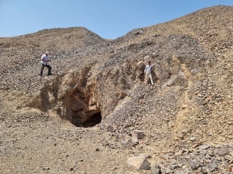
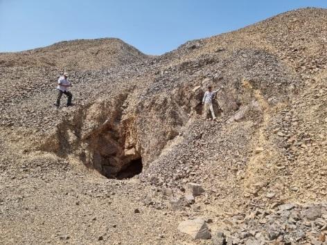
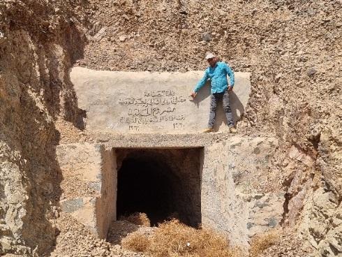
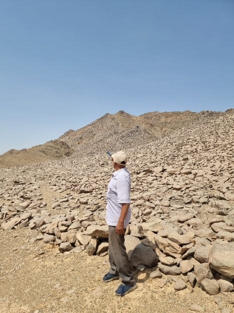
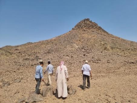
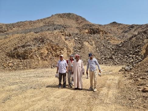
A collection of images that express the outputs
Latest Events
Latest News
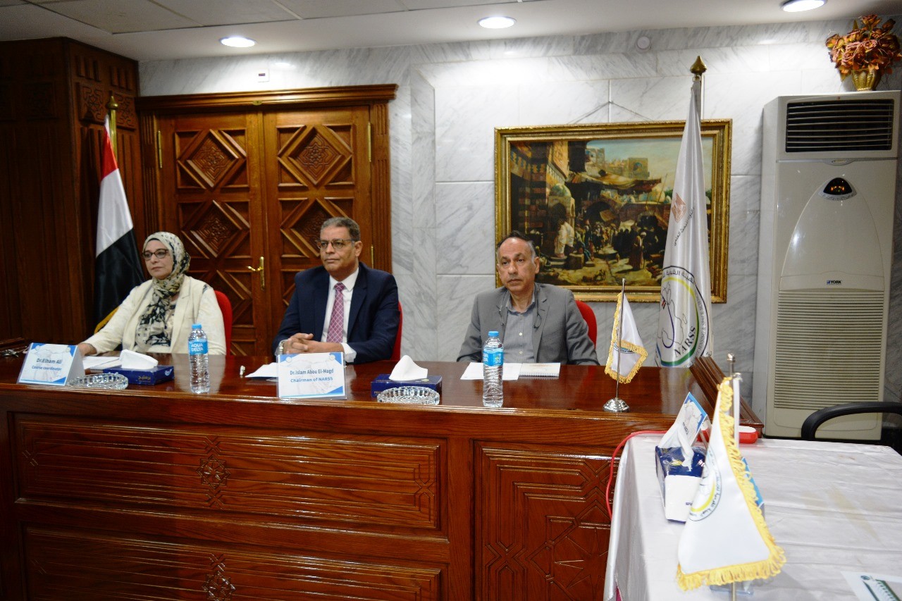

NARSS
National Authority for Remote Sensing & Space Sciences
NARSS is the pioneering Egyptian institution in the field of satellite remote sensing. NARSS is an outgrowth of a Remote Sensing Center, established in 1971 as an American-Egyptian joint project that was affiliated to the Egyptian Academy of Scientific Research and Technology


