Sensing Authority participates in the forum “The Role of Remote Sensing in Monitoring and Protecting Ecosystems and Supporting Environmental and Development Decision-Making” in partnership with the Ministry of Environment
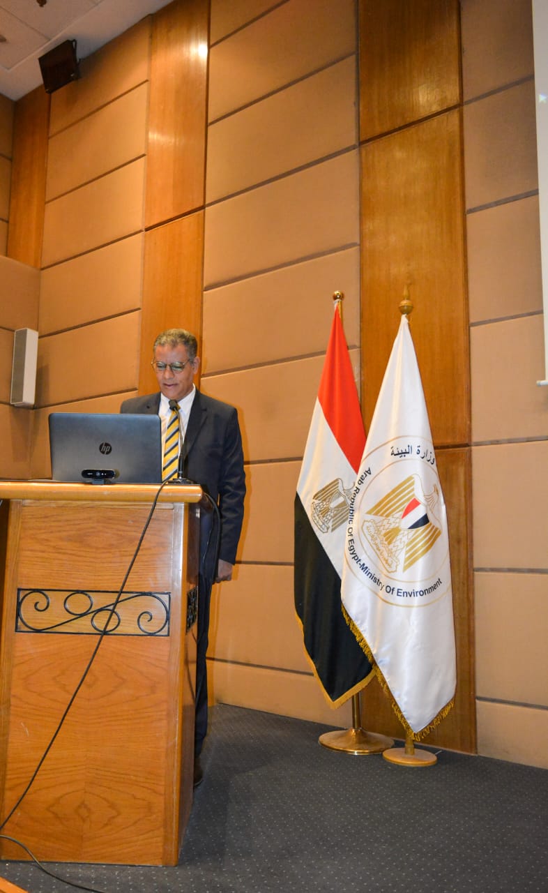
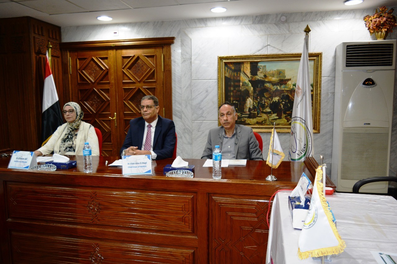
Abu Al-Majd, Head of the Sensing Authority, in the presence of the Head of the Environmental Quality Sector and under the patronage of the Minister of Scientific Research and the Minister of Environment, speaks about the role of remote sensing in monitoring and protecting environmental systems to support environmental and development decision-making.
The Sensing Authority participates in the forum “The Role of Remote Sensing in Monitoring and Protecting Ecosystems and Supporting Environmental and Development Decision-Making” in partnership with the Ministry of Environment
Dr. confirmed. Ayman Ashour, Minister of Higher Education and Scientific Research, stressed the need to pay attention to mechanisms for spreading the culture of climate change, preserving the environment, going green, achieving sustainability, and increasing awareness of climate changes, through organizing seminars, lectures, and workshops related to environmental and climate issues, and implementing research projects, in order to achieve the state’s vision for development. Sustainable 2030.
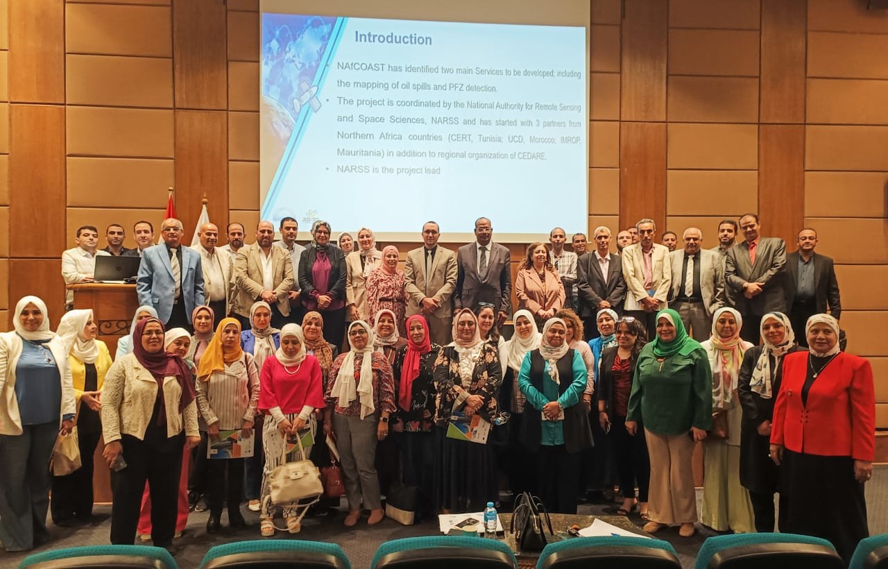
In this context, the activities of the “The Role of Remote Sensing in Monitoring and Protecting Ecosystems and Supporting Environmental and Development Decision-Making” Forum were held in partnership with the Ministry of Environment. To discuss joint cooperation frameworks in the field of applications of remote sensing and geographic information systems in environmental monitoring and environmental studies.
The forum included a presentation by Dr. Islam Abu Al-Majd, Chairman of the Remote Sensing and Space Sciences Authority, about the authority’s role in remote sensing applications and its relationships to many environmental studies such as climate change and its impact on the coast, sea level rise, and also studying remote sensing applications in air pollution and its extent. Its impact on Egyptian society and how to monitor air pollution through various satellites.
Dr. praised Islam Abu Al-Majd praised the role played by the Ministry of Environment to improve the environmental situation, pointing out the cooperation of the Sensor Authority with the Ministry of Environment to develop scientific research by providing all the required information, including the production of data and satellite images, and the use of geographical information systems to create environmental information networks, in addition to the environmental assessment of land resources using... Satellite data and information systems, and the use of satellite data in weather forecasting and simulating climate change, to achieve sustainable development and serve the environment.
Engineer Hossam Muharram, representative of the Environmental Awareness Sector at the Ministry of Environment and former advisor to the Minister of Environment, pointed out: Due to the importance of cooperation with the Remote Sensing and Space Sciences Authority, valuing its role in providing the Ministry of Environment with data and information in order to improve the environmental situation, achieve environmental sustainability, avoid depletion or degradation of natural resources, and allow long-term environmental quality, as practicing environmental sustainability helps ensure that the needs of society are met.
For his part, Dr. confirmed. Mustafa Murad, Head of the Environmental Quality Sector, stressed the importance of cooperation with the Remote Sensing and Space Sciences Authority, to achieve environmental balance by providing accurate information and data. He discussed ways and methods of obtaining the most accurate data by focusing on digital transformation, stressing that the sensor body can provide the required data accurately.
Dr. indicated. Elham Mahmoud - Professor of Environment and Marine Sciences at the Authority, pointed out the specificity of the marine and coastal environment and how to monitor and review means of protection and applications for protection of the marine environment, and measure the factors through which predictions of climate changes are made for the coastal and marine environment, adding that the Authority measures the chlorophyll of the seas and lakes with 90% accuracy. (As an indicator of pollution) and also tracking fish farms in coastal areas and their impact on the coastal environment, tracking oil spills in the seas and identifying the ships causing the leak, and tracking the change in the shoreline using satellite images to determine the places most affected by protection work on them by the concerned authorities.
For her part, Dr. Hala Effat - Professor of Urban Planning at the Authority, about how to monitor the deterioration of the urban environment of cities by sensing the distance, extent of weakness and environmental fragility of cities and how to measure them in terms of population, buildings, water, waste, and nature, to know the needs of different cities and direct investments to them, and determine the density of sprawl. Urban.
Dr. Abdul Aziz Bilal, Head of the Agricultural Applications Division at the Authority, presented how to spatially track pollutants, elements present in soil, bacteria, and the impact of heavy elements on land, plants, and human health using remote sensing techniques.
The second session of the forum dealt with a group of topics that have a common factor between the Remote Sensing and Space Sciences Authority and the Ministry of Environment, presented by a group of professors and researchers from the Authority, which included clarifying the environmental effects on the subsurface situation without digging in the soil, the effect of environmental factors on rocks, and the effect of oil leakage in the region. Subsurface and monitoring of garbage dumps.
The forum also discussed the need for regulatory authorities to resort to accurate data to achieve justice through satellite data, so the Authority identifies and knows encroachment on lands, determines the status of lakes and changes in them, and develops proposals for the lakes.
As well as how to calculate a set of factors to determine the elements of pollution in the seas and determine the degree of pollution in bottom sediments, and also assess disease risks and identify areas where pests spread and areas exposed to the spread of diseases and non-communicable diseases.
The forum discussed the use of modern sensors and geospatial technologies in monitoring air pollution, tracking aerosols, monitoring air quality, and the uses of the climate station to provide services such as oil spills in the seas, tracking vegetable plants, and calculating humidity and rain.
Dr. noted. Islam Abu Al-Majd noted that the forum concluded with a number of recommendations, including:
- Monitoring and protecting the coastal environment through processing and analyzing satellite images
- Monitoring soil pollution and producing spatial distribution maps
- Cooperation in the field of urban studies in terms of determining growth rates and trends and paying attention to heat islands and tracking them
- Cooperation in the field of studying, tracking and distributing waste using geophysical monitoring
- Monitoring and tracking water quality to develop the food security system in Egypt
- Integration in the field of infectious diseases and the spread of diseases, and the Authority’s integration with the Ministry of Environment and the Ministry of Health
- Monitoring and tracking aerosols and air pollutants using sensor technologies
- Integration between different data sources for sensor applications
- Establishing a joint platform between the Authority and the Environmental Affairs Agency to facilitate scientific exchange
The forum witnessed the participation of a group of professors and researchers from the Remote Sensing and Space Sciences Authority, including: Dr. Mohamed Abdel Wahab Atwa, Dr. Sameh Al-Kafrawy, Dr. Ahmed Al-Zeini, Dr. Naglaa Zanati, Dr. Nisreen Khairy, Dr. Mr. Hermas, one of the leaders of the Ministry of Environment.
Latest Events
Latest News
NARSS
National Authority for Remote Sensing & Space Sciences
NARSS is the pioneering Egyptian institution in the field of satellite remote sensing. NARSS is an outgrowth of a Remote Sensing Center, established in 1971 as an American-Egyptian joint project that was affiliated to the Egyptian Academy of Scientific Research and Technology


