Remote Sensing Authority organizes a specialized training course on assessing vegetation dynamics from space
Ministry of Higher Education and Scientific Research
General Administration of the Media Office and Official Spokesperson
press release
Cairo: November 18, 2023
Sponsored by the Minister of Higher Education and Scientific Research
The Remote Sensing Authority organizes a specialized training course on assessing vegetation dynamics from space
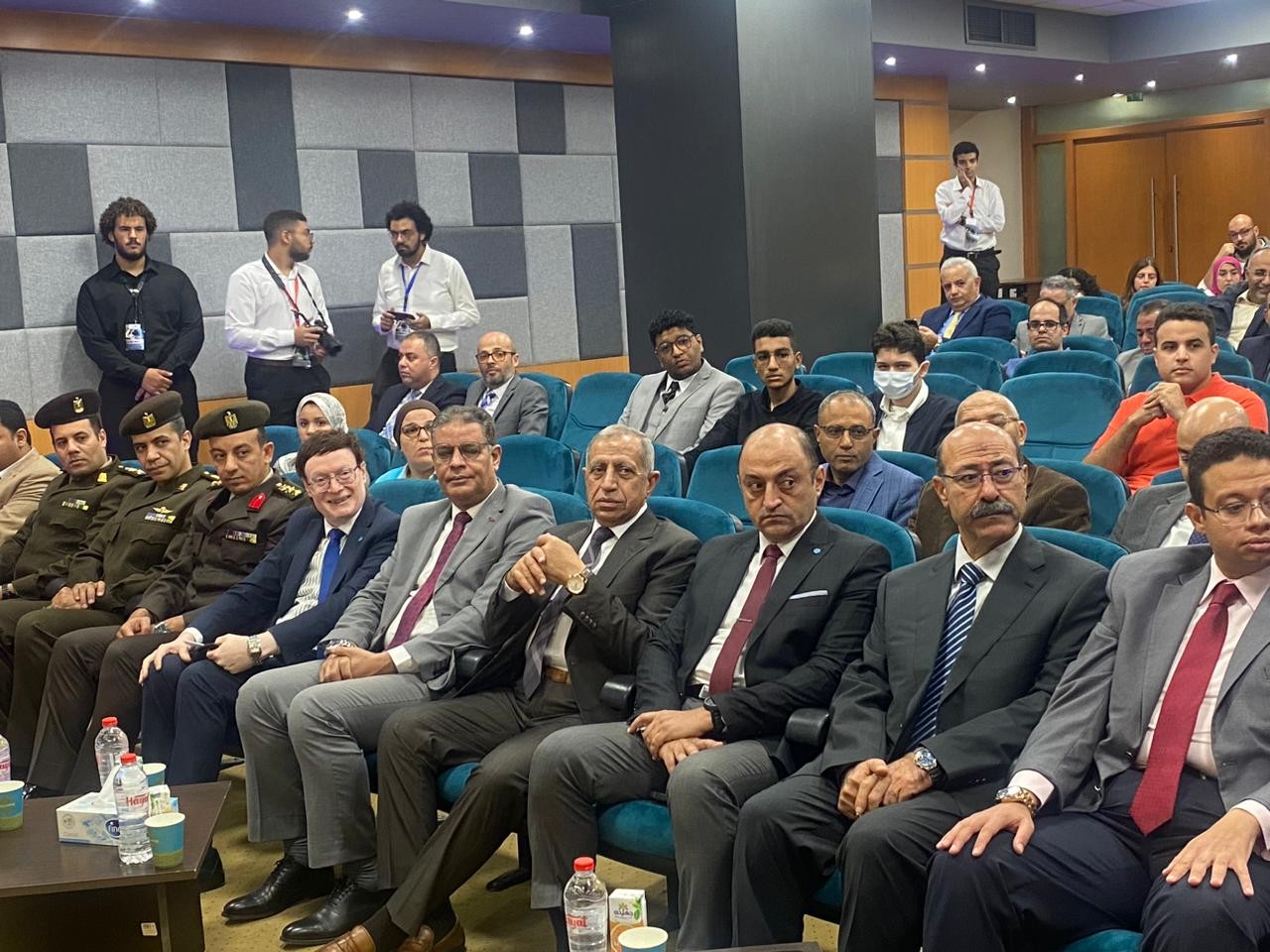
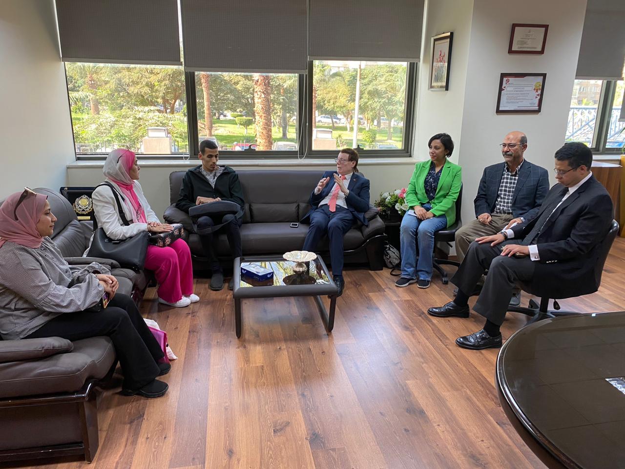
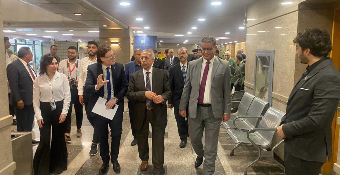
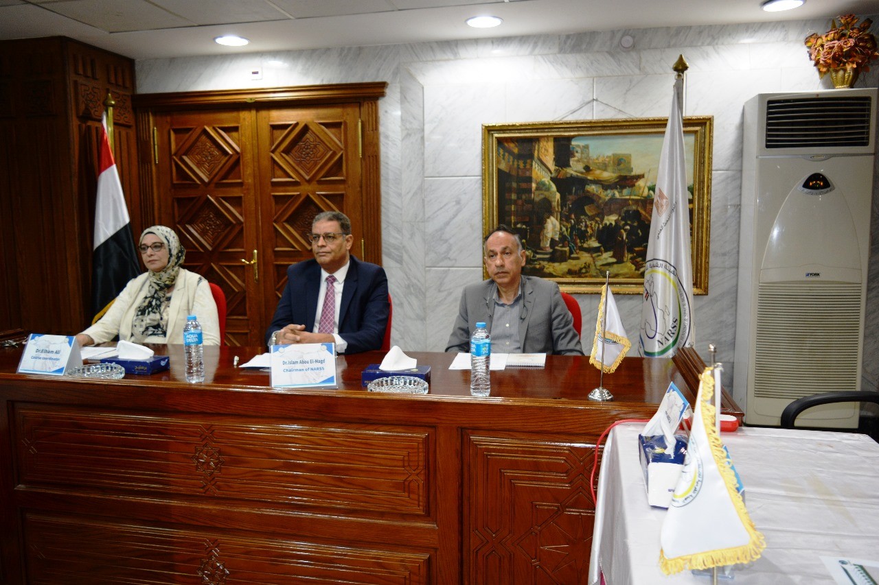
Sponsored by Dr. Ayman Ashour, Minister of Higher Education and Scientific Research, National Authority for Remote Sensing and Space Sciences (NARSS), headed by Dr. Islam Abu Al-Magd, Chairman of the Authority, organized today, Sunday, a specialized training course on “Assessing the dynamics of vegetation from space with analyzes and modern techniques for remote sensing, artificial intelligence, and languages.” High-level programming", which continues until November 23, under the supervision of Dr. Elham Mahmoud Ali, Professor of Environment and Marine Sciences at the Authority and Head of the Organizing Committee.
Trainers from SERCO in Italy and England provide the training course, while the European Union provides financial support through the European Space Agency (ESA) and the University of Twente (TWENTE), through joint cooperation between the African and European Unions, represented by EOAFRICA and the GEMS and Africa Program (GMES & Africa), which previously provided financial support to the “Nave Coast” project to study the services provided by Earth observation systems for the coastal environment of North Africa, which was managed by the Arab Republic of Egypt, represented by National Authority for Remote Sensing and Space Sciences. The main researcher of the project was Dr. Elham Mahmoud Ali, Professor Environment and Marine Sciences Authority.
Participants in this specialized course are expected to receive an introduction to cloud technologies for assessing vegetation dynamics with Earth observation data, computing principles and an innovation laboratory. They will also be provided with an introduction to the largest Earth observation program in the world - COPERNICUS, with a special focus on agriculture and vegetation. Participants will gain sufficient knowledge about the basic concepts of satellite-based data applications in crop monitoring and mapping, as well as the water needs of crops and the amount of water that the crop needs for its optimal growth, and the study of evaporation and transpiration using Sentinel-2 data and processing it in the SNAP program, while all capabilities and logistics have been provided. To ensure the success of this training course and achieve the maximum possible benefit, in cooperation with the Department of International Relations and Public Relations.
It is worth noting that 56 trainees from several Egyptian universities applied to register for this training course, in addition to participants from the Remote Sensing Authority and a number of representatives of the countries of the African continent (Tunisia, Morocco, Mauritania, Ethiopia - Congo - Rwanda - Kenya). The specializations of the applicants varied from the faculties of (engineering, Sciences, agriculture, fisheries, computers and information), and the statements and letters of interest of all applicants were studied by the external and internal organizing committee, and 25 of them were accepted based on several criteria, including specialization and the importance of the training course to the applicants in terms of its importance to his future studies or its benefit to his workplace.
General Administration of the Media Office and the Official Spokesperson

Latest Events
Latest News
NARSS
National Authority for Remote Sensing & Space Sciences
NARSS is the pioneering Egyptian institution in the field of satellite remote sensing. NARSS is an outgrowth of a Remote Sensing Center, established in 1971 as an American-Egyptian joint project that was affiliated to the Egyptian Academy of Scientific Research and Technology


